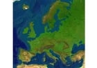
Image topographie de France

Image topographie de France
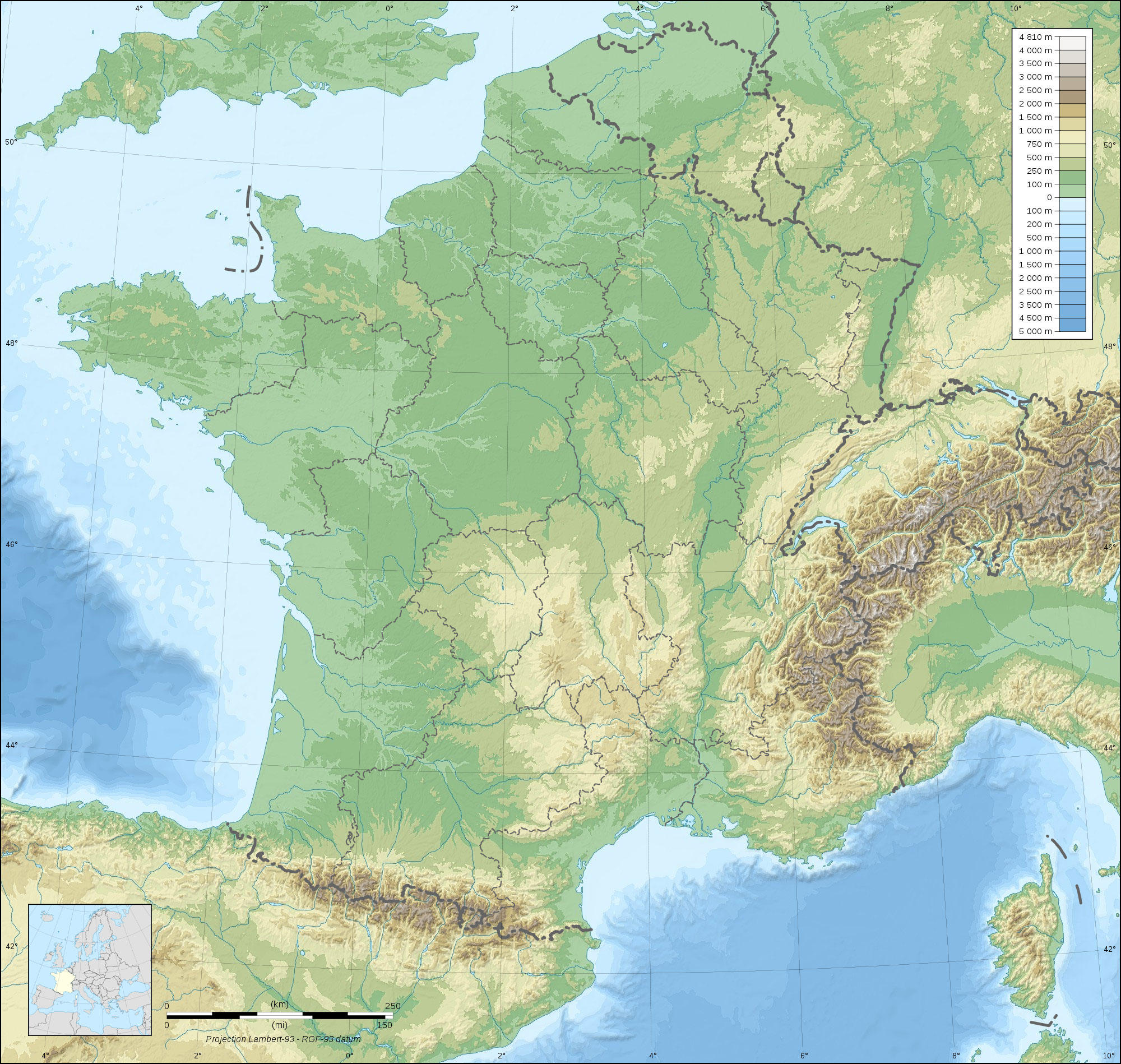
Image clipart de la France topographique avec des variations de hauteur vertes et brunes et des plans d'eau visibles. Gratuit a telecharger et imprimer.


Catégorie: Image Cartes géographiques > topographie de France
Mots-clés: topographie de France, description de pays, France, caractéristiques
Image information
Attribution and Share-Alike required
Any use of this map can be made as long as you credit me (Eric Gaba – Wikimedia Commons user: Sting) as the author and distribute the copies and derivative works under the same license(s) that the one(s) stated below. A message with a reply address would also be greatly appreciated.
Sources of data:
- Topography: NASA SRTM30 (public domain);
- Bathymetry: NGDC ETOPO1 (public domain);
- Additional data: NGDC World Data Bank II (public domain).
Blank topographic map of France in the official Lambert-93 projection, with regions boundaries.
Toutes les images peuvent être utilisées à des fins éducatives privées et non commerciales.
Pour tout autre usage, consultez la licence d'image et/ou les conditions d'utilisation.
N'hésitez pas à nous contacter pour plus d'informations.
