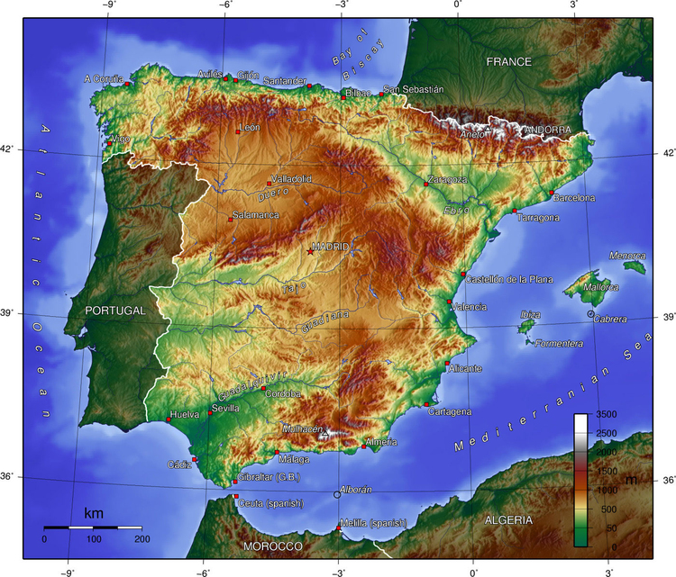
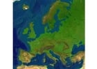
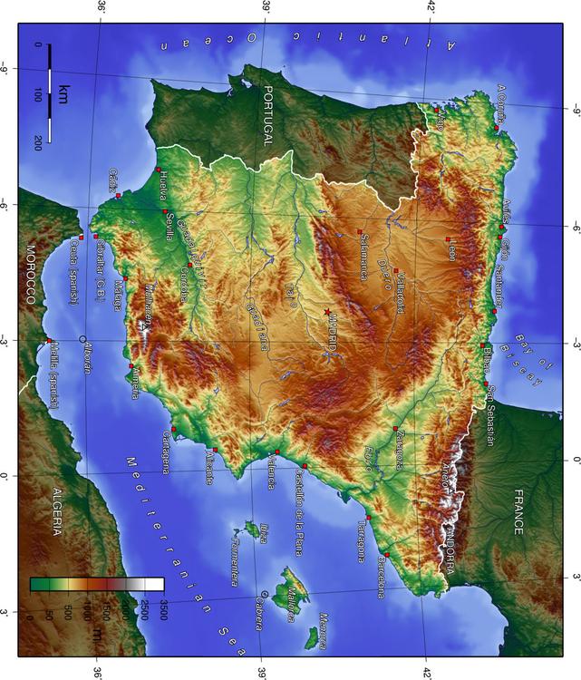
Catégorie: Image Cartes géographiques > Espagne topographie
coloriage, coloriages, dessins, école, éducation, éducatif, images à colorier: Espagne topographie
Mots-clés: Espagne topographie, Espagne, caractéristiques, description,
Image information
Permission is granted to copy, distribute and/or modify this map under the terms of the GNU Free Documentation License, Version 1.2 or any later version published by the Free Software Foundation; with no Invariant Sections, no Front-Cover Texts, and no Back-Cover Texts. A copy of the license is included in the section entitled "GNU Free Documentation License".
The map has been created with the Generic Mapping Tools: http://gmt.soest.hawaii.edu/ using one or more of these public domain datasets for the relief:
Originally uploaded to en.wikipedia with the following history:
17:55, 1 July 2005 . . Captain Blood . . 1400x1197 (618100 bytes)